UCF Campus Aerial Photos and Maps
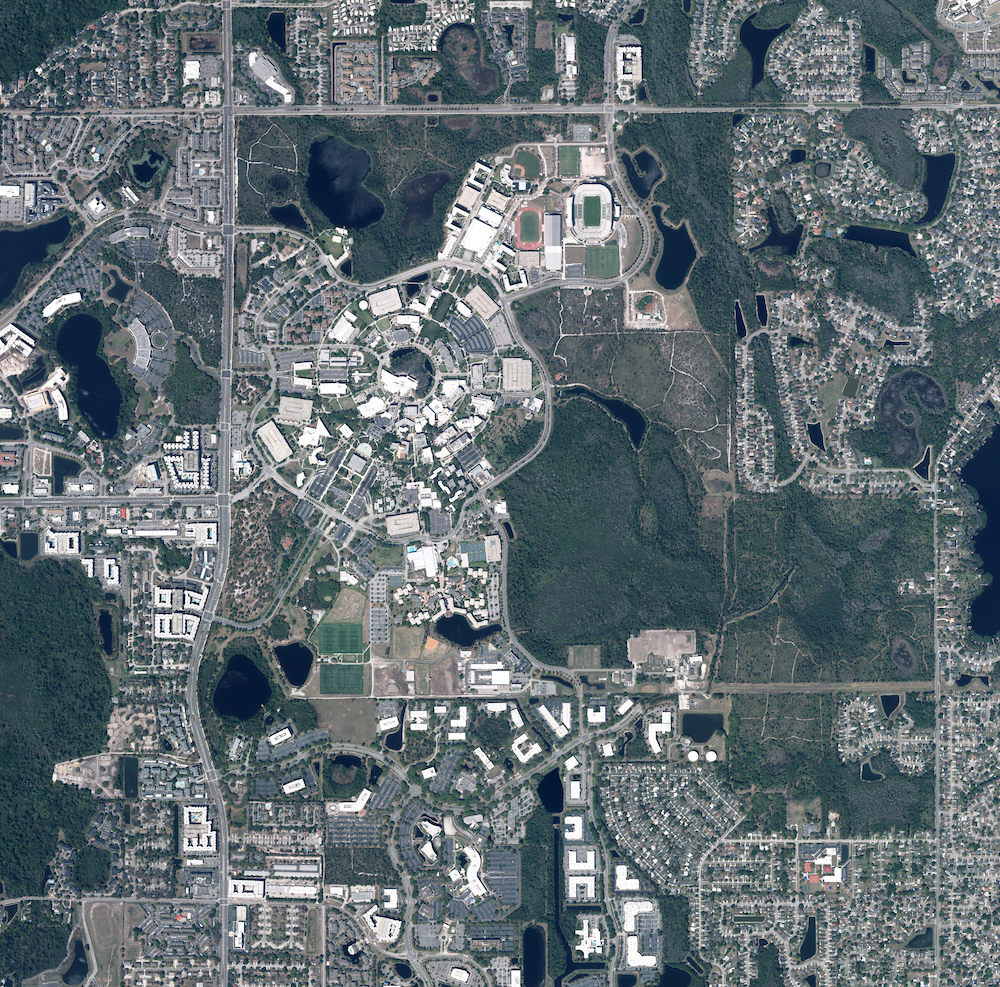
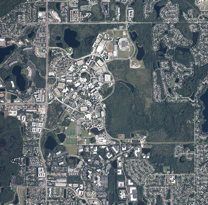
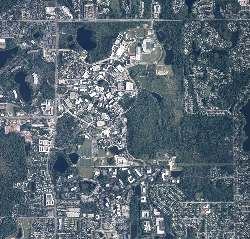
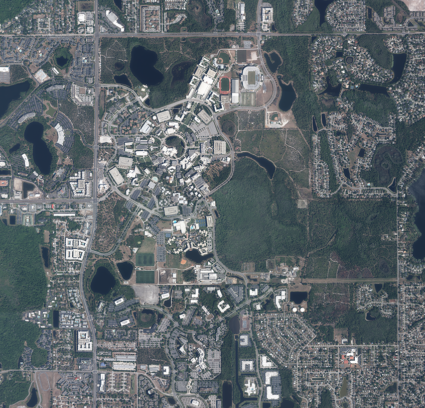
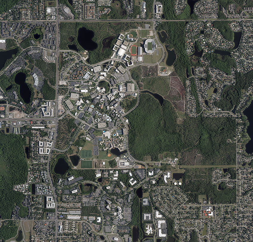
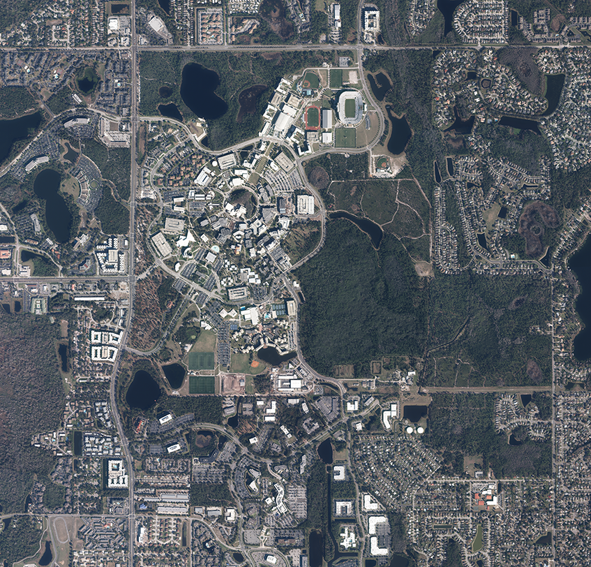
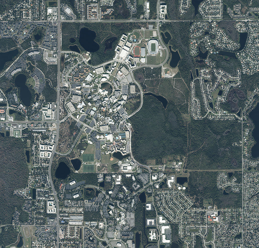
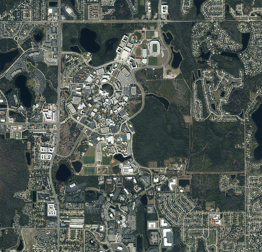
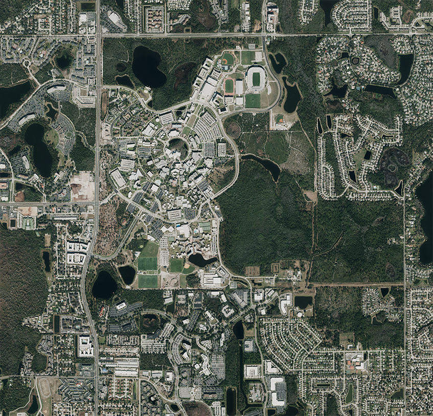
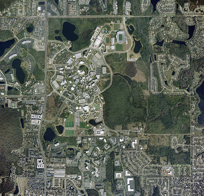
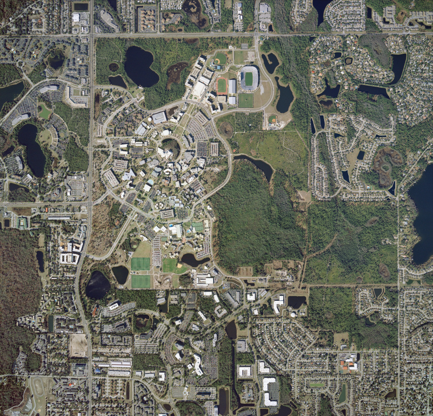
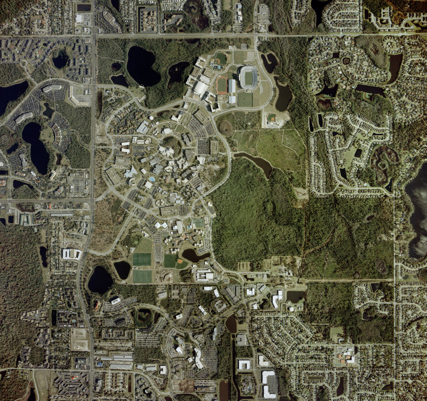
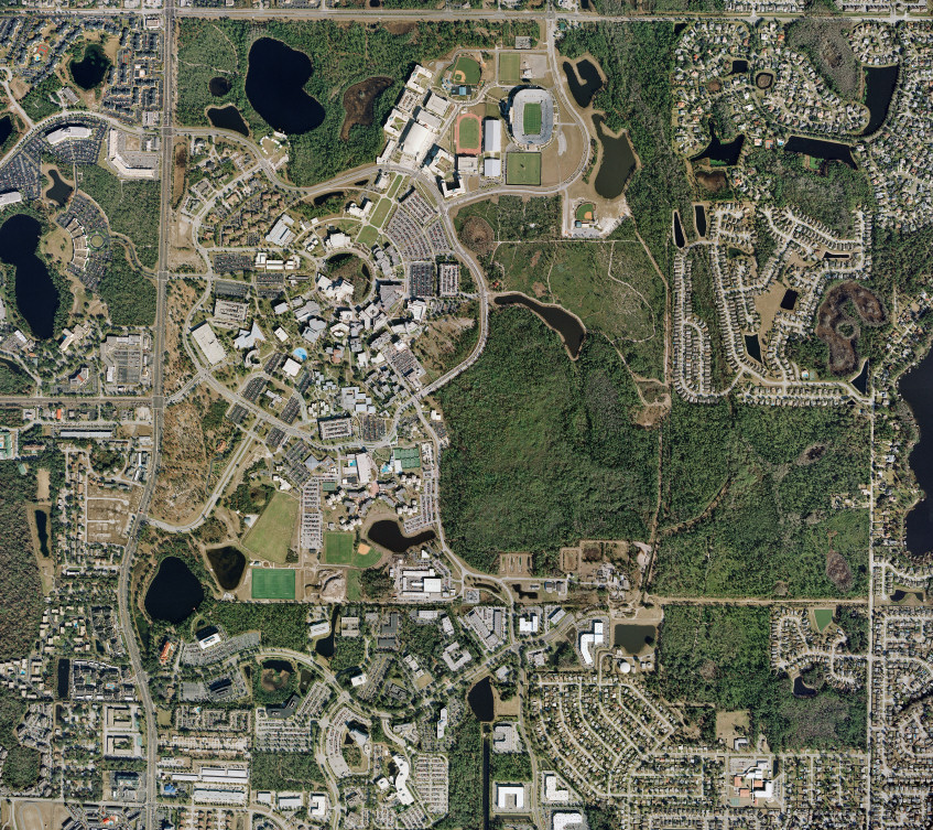
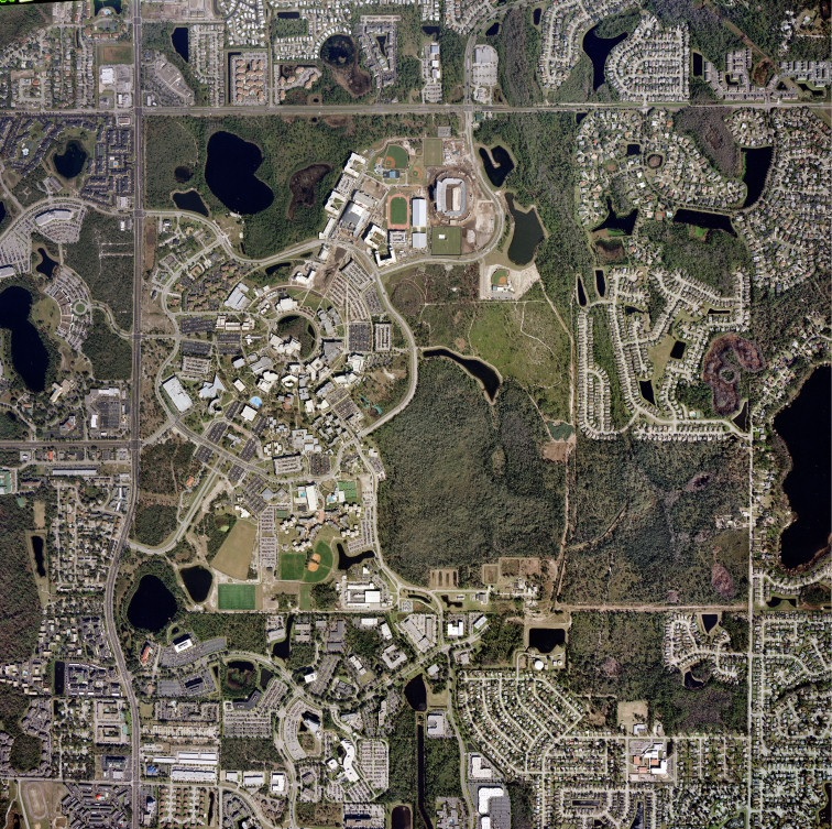
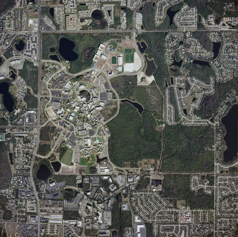
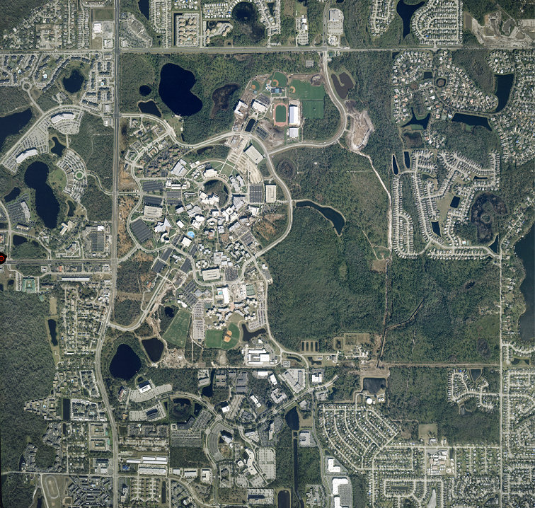
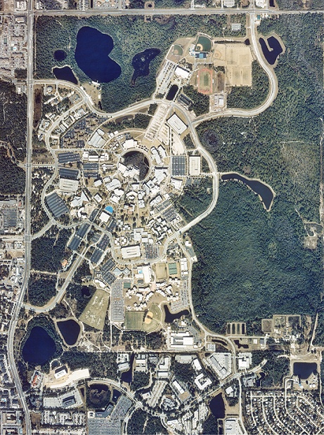
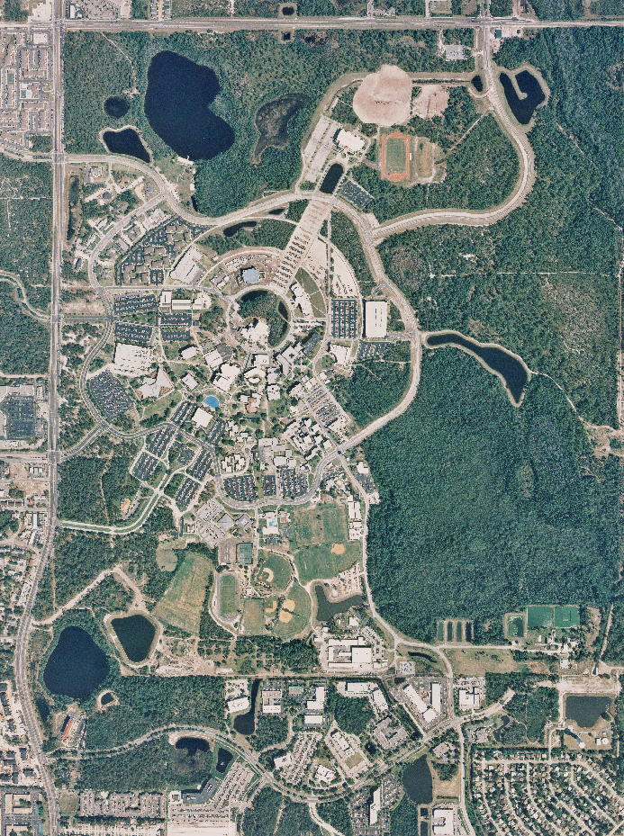
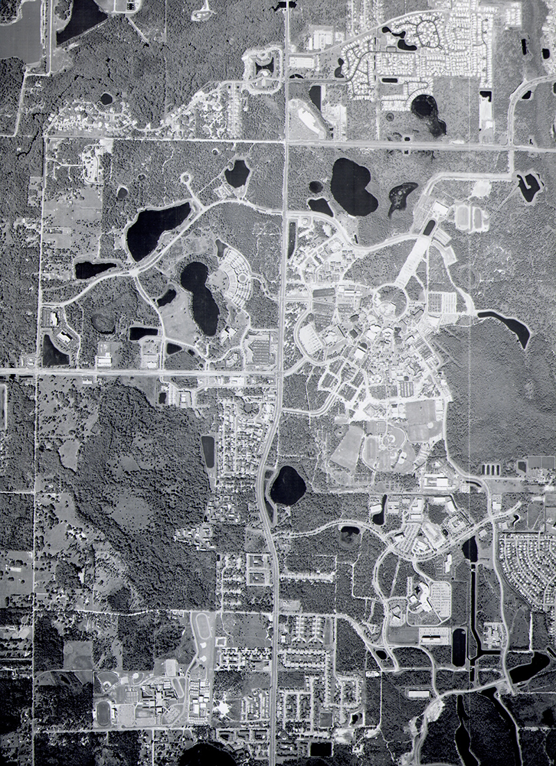
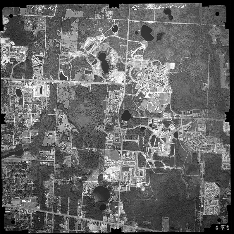
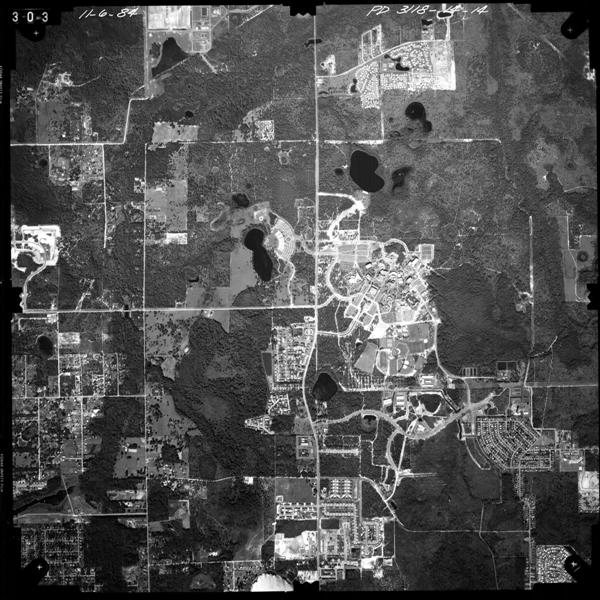
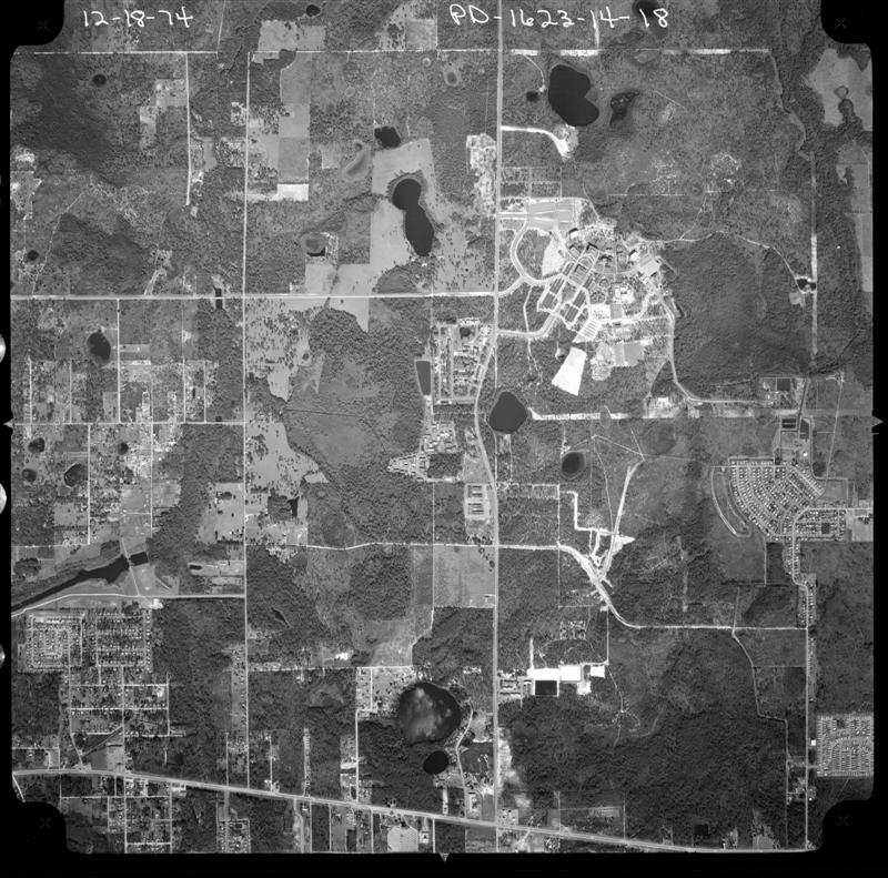
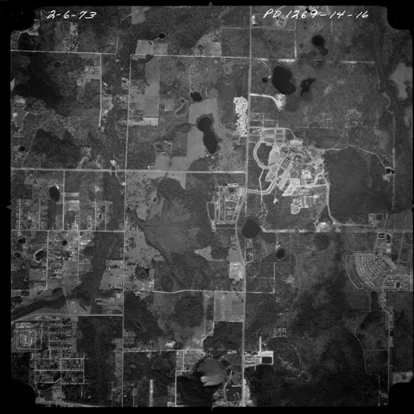
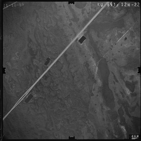
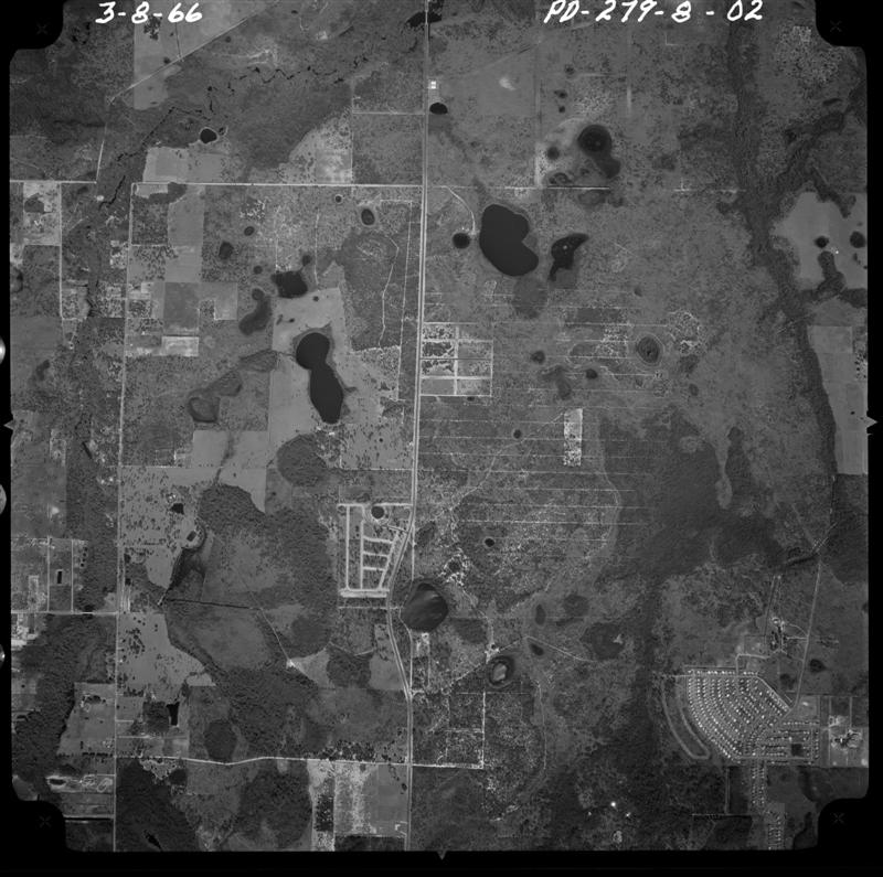
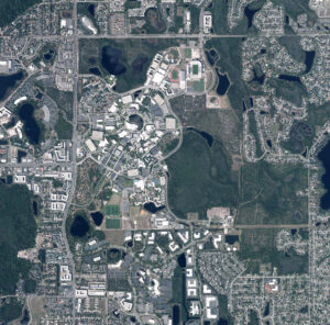
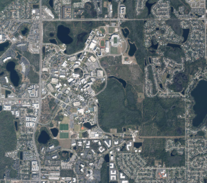
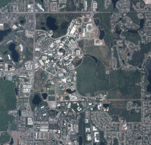
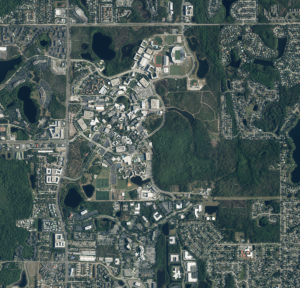
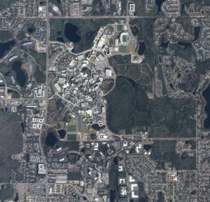
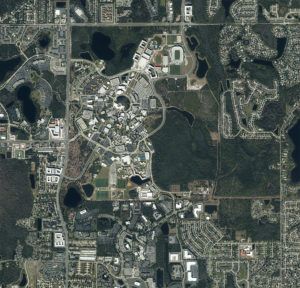
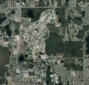
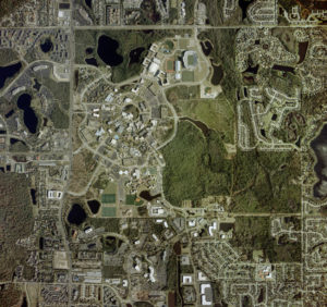
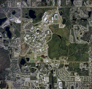
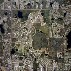
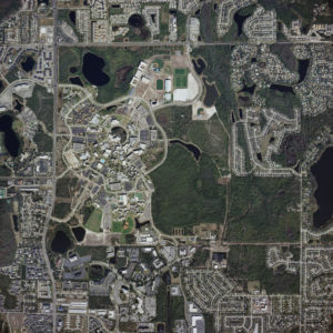
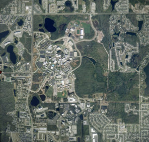
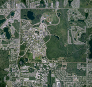
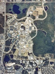
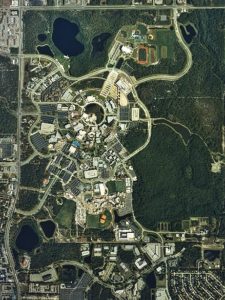
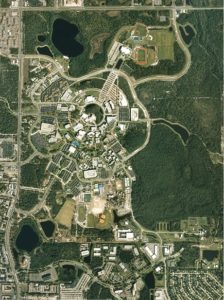
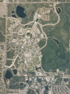
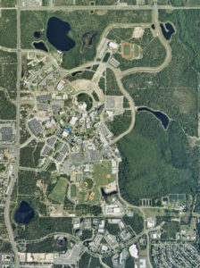
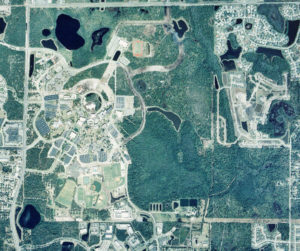
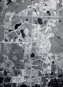
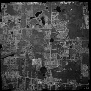
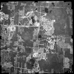
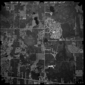
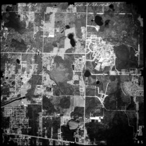
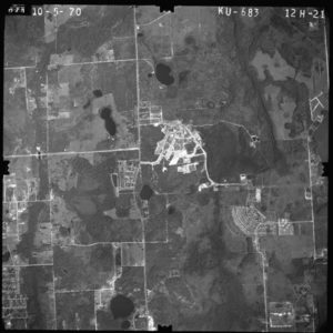
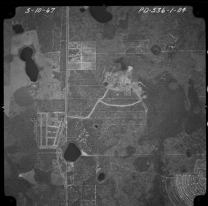
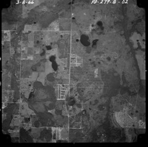
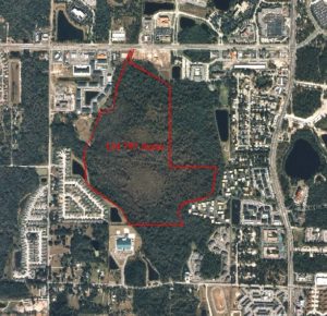
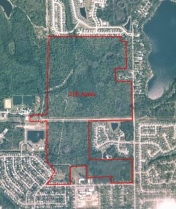
UCF maintains a library of aerial photos of the campus (shown below). The aerial collection includes images every few years since 1966, when the campus was farmland.
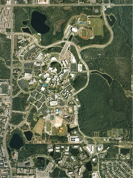
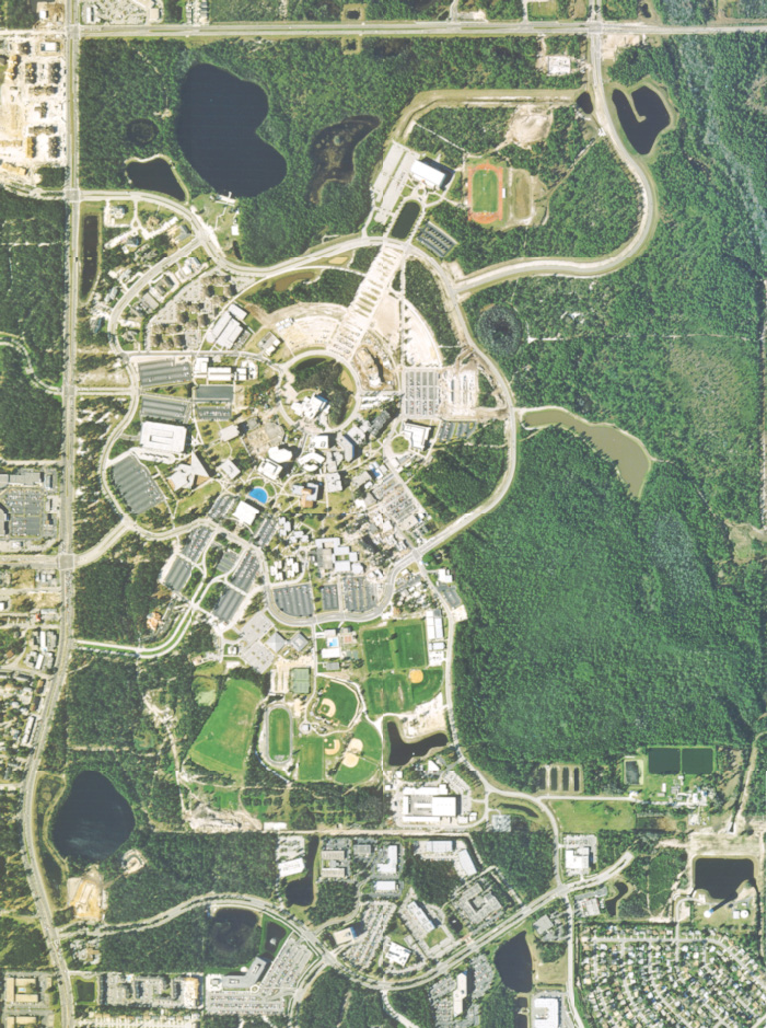
UCF maintains a library of aerial photos of the campus (shown below). The aerial collection includes images every few years since 1966, when the campus was farmland.